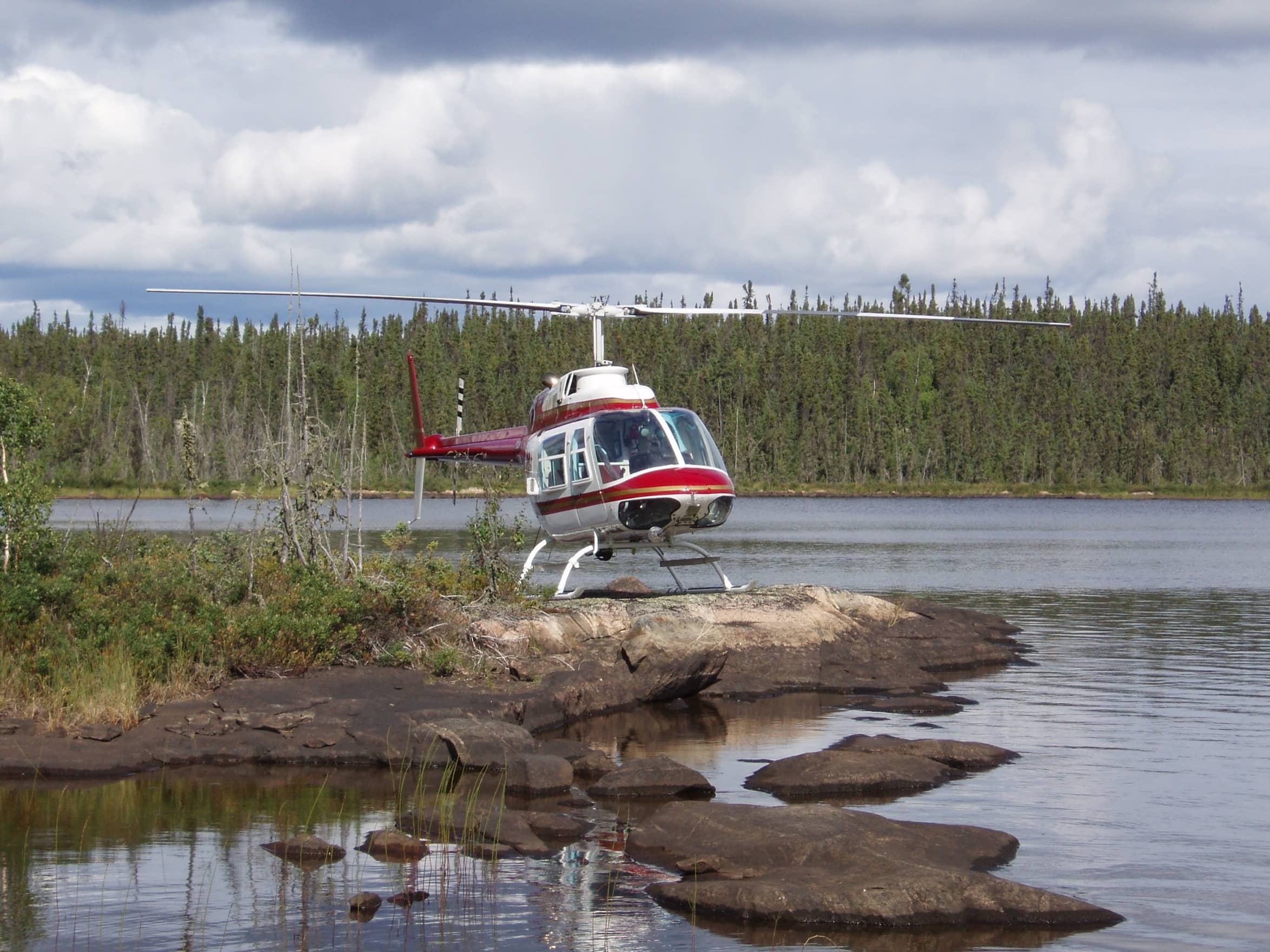
Project
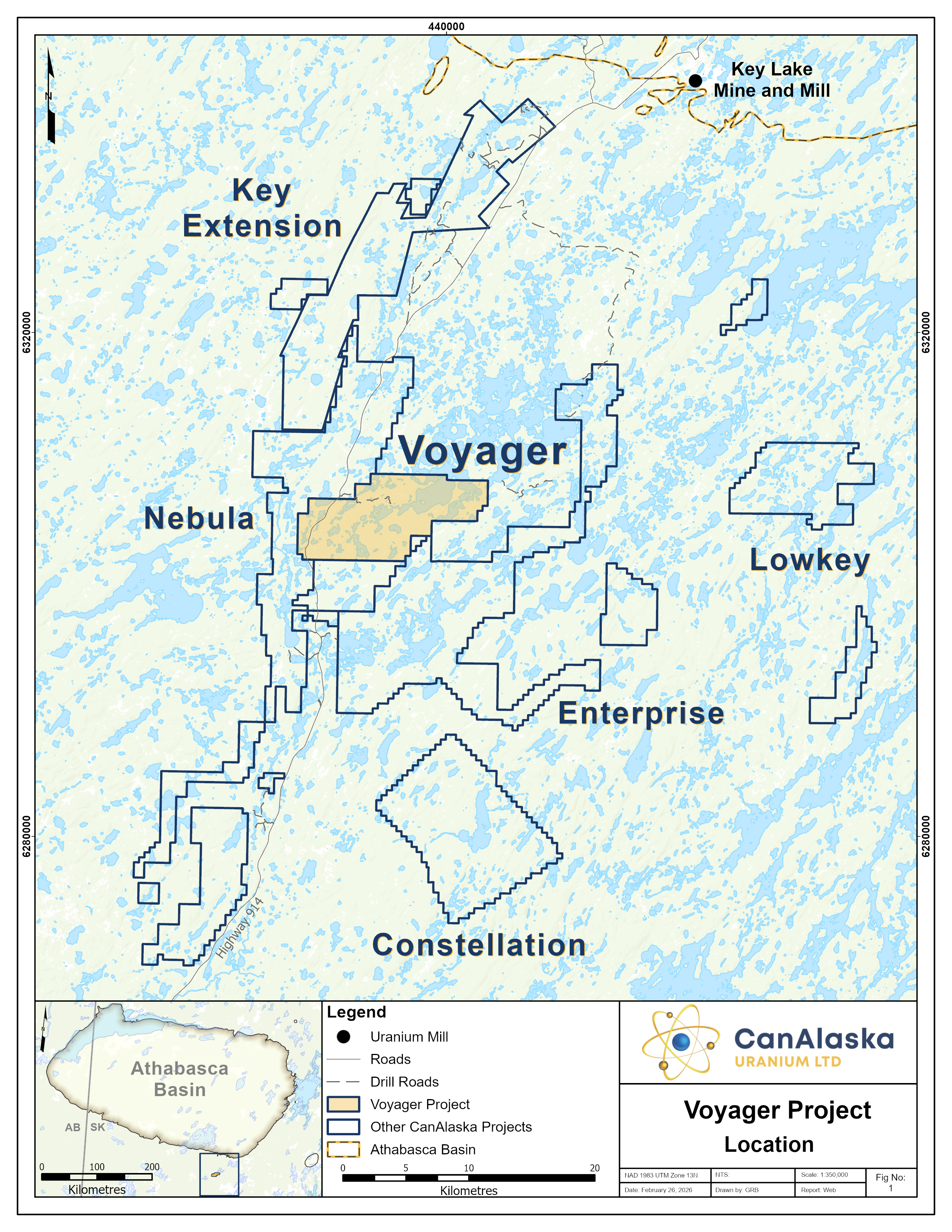

CanAlaska’s Voyager property, totaling 7,246 ha, is located in the southeastern Athabasca Basin. The project is thirty kilometres south of the present-day Athabasca Basin edge and the Key Lake Mine and Mill complex along Highway 914.
Historical exploration on the project consists of prospecting and geological mapping that were completed in conjunction with airborne radiometric, electromagnetic, and magnetic surveys. Within the property area, historical prospecting identified a series of showings, most notably the Scurry-Rainbow group and the Marline-5 showing. The Scurry-Rainbow showings consist of five different zones in the southwest corner of the property.
The most significant uranium mineralization was noted in Scurry-Rainbow Zone E, associated with a siliceous calcsilicate unit that had up to 0.65% U3O8 in a grab sample. The Marline-5 showing, hosted within a biotite gneiss, contains historical prospecting results up to 0.797% U3O8 in a grab sample. In the late 2000’s a helicopter-borne AeroTEM electromagnetic and magnetic survey was flown in the area that covered the current project grounds.
A small-scale prospecting program completed in the mid-2000’s confirmed some of the historical occurrences on the project. The main target areas on the Voyager project consist of three northeast-southwest trending magnetic low corridors. Two of these corridors, each approximately five-kilometres long, are host to the numerous uranium showings that have been historically identified. The Company believes that these target areas represent underexplored structural corridors prospective for the discovery of basement-hosted uranium deposits. The Company recently completed a modern project-wide airborne VTEM, Magnetics, and Radiometrics survey that highlighted multiple high-priority target areas. The company is actively seeking joint-venture partners for its Voyager project.
CanAlaska Uranium Ltd.
Unit 204, 75-24th Street East Saskatoon,
SK S7K 0K3
Copyright © 2012 - 2026 CanAlaska Uranium Ltd.
